
Thinking of exploring every corner of the USA? Whether you’re road-tripping across state lines or flying coast to coast, this ultimate USA travel guide breaks down how to experience all 50 states like a true local—not just a tourist. From hidden gems to regional eats, must-do activities, and smart travel tips, we’ve crafted a journey that brings out the soul of each state. You can travel Best Time to Visit the USA for Cool Weather.
Why Travel the USA Like a Local?

America is more than just bucket-list cities and national landmarks. The real charm lies in the local diners, small-town festivals, secret hiking trails, and off-the-beaten-path attractions that guidebooks often miss.
Traveling like a local helps you:
Avoid tourist traps
Save money with local recommendations
Support small businesses
Build deeper cultural connections
- Whether you’re a first-time visitor or an American hoping to rediscover your country, this guide gives you authentic travel experiences in all 50 states.
How to Use This USA Travel Map Guide
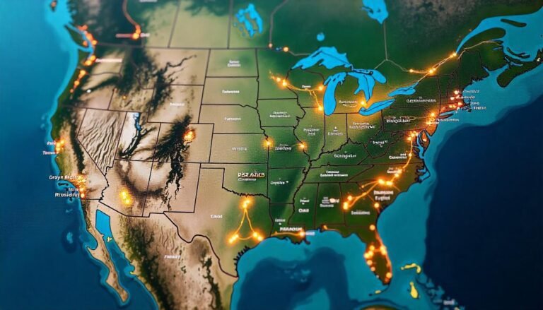
Interactive Map (Add a visual/map here using tools like Google My Maps): Click on each state to explore local tips, food.
State-by-State Breakdown: Scroll down for a detailed look at what makes each state unique—no cookie-cutter suggestions here.
Travel Tips: We share when to go, how to get around, and where to eat like a local.
The Ultimate State-by-State Travel Guide (Local Style)
1. California
Local Gem: Highway 1 through Big Sur
Eat Like a Local: Fish tacos in San Diego, sourdough bread in San Francisco
Local Experience: Sunset at Venice Beach, winery hopping in Paso Robles
Tip: Avoid LA traffic by exploring neighborhoods on foot or using the Metro
2. New York
Local Gem: Hudson Valley and Finger Lakes, not just NYC
Eat Like a Local: Bagels, Buffalo wings, apple cider donuts in the fall
Local Experience: Catch a Yankees game, stroll Brooklyn’s Prospect Park
Tip: Use the subway for NYC but rent a car for upstate
3. Texas
Local Gem: Marfa for art and star-gazing
Eat Like a Local: Brisket BBQ in Austin, breakfast tacos in San Antonio
Local Experience: Live music on 6th Street in Austin
Tip: The state is huge—fly between regions or allow multiple weeks
4. Florida
Local Gem: Sanibel Island and the Florida Keys
Eat Like a Local: Cuban sandwiches in Tampa, key lime pie in the Keys
Local Experience: Kayaking with manatees, Everglades airboat tours
Tip: Visit in spring or early fall to avoid crowds and hurricanes
5. Illinois
Local Gem: Galena, a historic town with small-town charm
Eat Like a Local: Deep-dish pizza in Chicago, horseshoe sandwich in Springfield
Local Experience: Jazz in Chicago, Route 66 nostalgia
Tip: Take an architecture boat tour in Chicago—it’s worth it
Top Local Travel Experiences in the USA
Best Small Towns to Visit: Asheville (NC), Stowe (VT), Moab (UT)
Iconic Road Trips: Pacific Coast Highway, Blue Ridge Parkway, Route 66
Hidden Natural Wonders: Great Sand Dunes (CO), Apostle Islands (WI), Havasu Falls (AZ)
Seasonal Favorites:
Fall: Vermont foliage, pumpkin patches in Indiana
Winter: Snowy magic in Alaska and Lake Tahoe
Spring: Wildflowers in Texas Hill Country
Summer: Lake life in Minnesota and Michigan
USA Travel Planning Tips (from a Local Perspective)
1. Best Time to Visit
Spring and Fall are ideal for most states
Avoid summer crowds in national parks (unless you’re heading north)
2. Getting Around
Drive: Best for road trips (especially western states)
Train: Amtrak offers scenic routes like the California Zephyr
Fly: Budget airlines for long distances—watch for regional airports
3. Apps Locals Use
GasBuddy – cheapest gas
Roadtrippers – for planning detours and stops
AllTrails – local hiking trails and reviews
Yelp + Google Maps – trusted for local food
4. Safety & Etiquette
Respect local rules, especially in rural and Indigenous areas
Leave no trace when visiting natural spaces
Tipping is expected in restaurants (15–20%)
Create Your Custom USA Travel Map
Want to plan your dream trip? Use this quick method:
Pick 5 states you’ve never visited
Add one local food, one outdoor activity, and one cultural experience from each
Plot them on Google Maps
Hit the road or book your flights!
See the USA Through Local Eyes
Traveling across all 50 states is more than a goal—it’s a journey of culture, people, and connection. When you explore like a local, you uncover stories you’d otherwise miss. Skip the guidebook path and take the scenic route. You’ll come back with memories, not just photos.
FAQs
Q: Can I visit all 50 states in one year?
Yes—but it requires planning! Fly to Alaska and Hawaii early, then road trip across the mainland.
Q: What’s the cheapest way to travel the USA?
Campgrounds, budget airlines, and off-season travel can save you thousands.
Q: Are there local tours worth booking?
Absolutely. Food tours, ghost walks, and Native-led cultural experiences offer great insight